Topographic Survey vs Site Plan Differences

A proposed driveway that drains toward a neighboring lot, a home addition placed on a low section of a parcel, or a building plan drawn from outdated measurements can create expensive problems long before construction begins. In a topographic survey vs site plan comparison, the central question is not which document is better. It is which document provides the information needed for the decision in front of you.
Property owners, buyers, contractors, and developers often use these terms interchangeably because both documents show a property on paper. Their roles are different, however. A topographic survey documents existing ground conditions with measured data. A site plan uses property and survey information to show how a site is arranged, developed, or proposed to be developed.
What Topographic Survey vs Site Plan Means
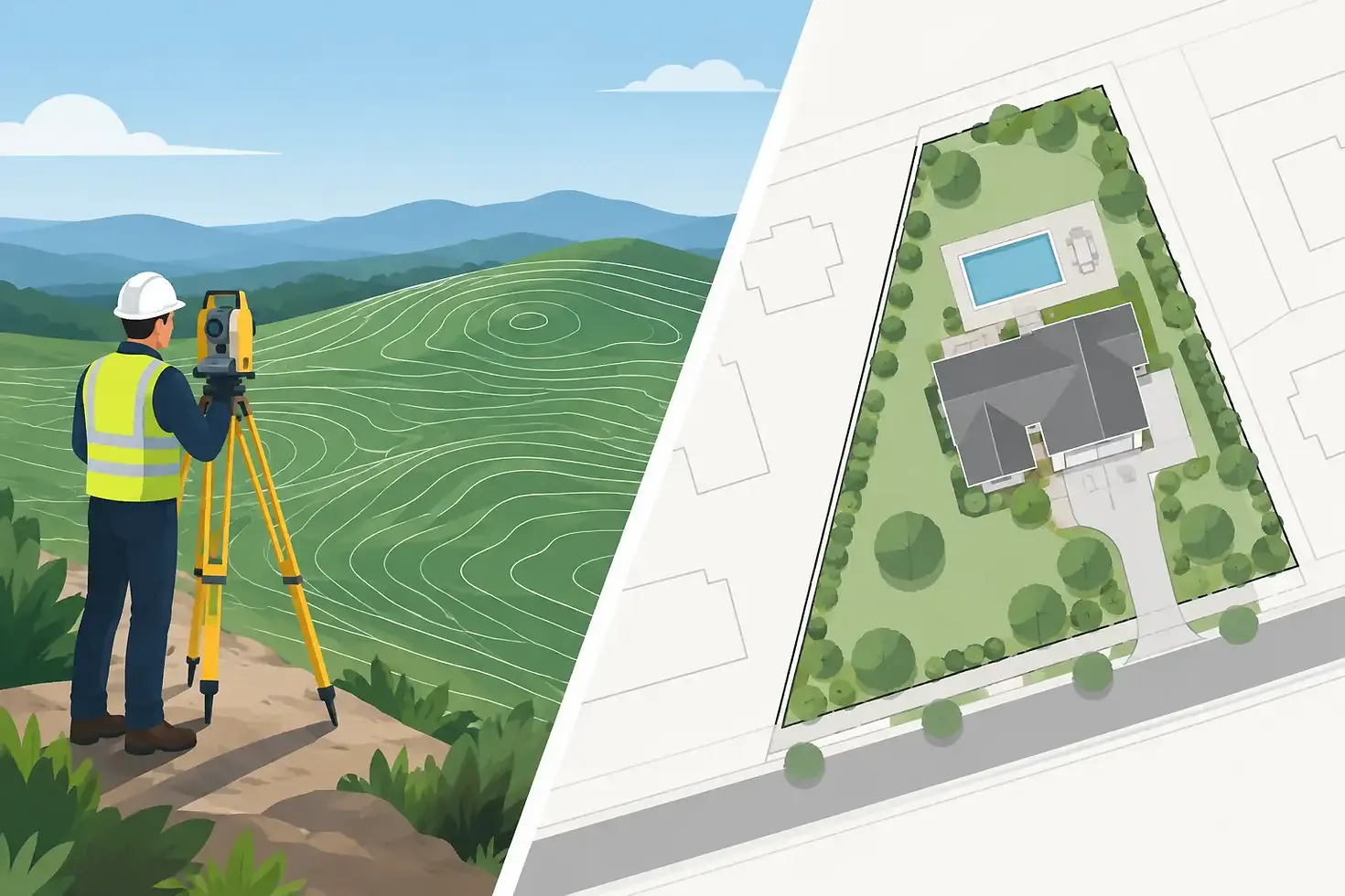
A topographic survey is a field survey that maps the physical features and elevations of a property. The surveyor collects measurements across the site and prepares a drawing that represents the shape of the land and the location of visible improvements or features requested for the project.
A site plan is typically a planning or design document. It may show existing conditions, proposed improvements, or both. An architect, engineer, contractor, or property owner may use the plan to illustrate the placement of a house, addition, parking area, drainage feature, utilities, landscaping, setbacks, and access points.
The distinction matters because a site plan is only as dependable as the information used to create it. When construction, drainage, permits, or grading decisions are involved, a current survey provides the measured foundation for the design.
What a Topographic Survey Shows
Topographic surveys focus on existing conditions. Elevations are usually shown through spot elevations, contour lines, or both. Contour lines connect points of equal elevation, making slopes, high areas, low areas, swales, and drainage patterns easier to evaluate.
Depending on the agreed scope of work, a topographic survey may also identify visible improvements and site features such as buildings, fences, driveways, sidewalks, curbs, retaining walls, trees, utility poles, drainage structures, and surface water features. The level of detail should match the intended use. A small residential addition does not always need the same scope as a commercial redevelopment project.
Topographic data helps a design professional understand how proposed work will relate to the actual ground. It can support grading design, stormwater planning, driveway placement, accessible routes, utility coordination, and construction budgeting. On a Sarasota-area property, even modest elevation changes can affect how water moves across a site during heavy rain.
A topographic survey does not automatically establish legal property boundaries. If a project also requires verified boundary lines, easements, or setback information, the client may need a boundary survey or another appropriate survey product in addition to topographic mapping. Combining needed services at the start can prevent a design team from working from assumptions.
What a Site Plan Shows
A site plan turns property information into a layout for use, review, or approval. It often shows lot lines, building footprints, dimensions, setbacks, parking, paving, access, utility connections, landscaping, and drainage concepts. A proposed site plan may also include items required by a local jurisdiction for a permit application.
The content varies widely. A simple residential site plan for a shed or pool may be limited to the parcel, existing home, setbacks, and proposed improvement. A commercial site plan can be far more detailed, addressing circulation, parking counts, fire access, stormwater facilities, lighting, accessibility, and utility infrastructure.
Because a site plan may be conceptual or construction-ready, users should confirm its purpose before relying on it. A plan prepared for early budgeting may not satisfy permitting requirements. Likewise, a site plan copied from an old survey or deed sketch may not reflect current buildings, site changes, or measured elevations.
Key Differences Between the Documents
The most practical difference is that a topographic survey records what is present, while a site plan communicates what is proposed or how the property is intended to function. One is measured field documentation. The other is a planning and design tool.
They also serve different professionals. Surveyors collect and certify survey information within the scope of their licensure and the requested service. Architects, civil engineers, landscape architects, and contractors may use that information to prepare a site plan. On some projects, the survey drawing itself may include enough existing-condition information to assist with a basic layout, but it is not a substitute for a properly designed plan where engineering or permitting is required.
Another difference is the role of elevation. A site plan may show proposed finished-floor elevations, grading notes, or drainage arrows, but those design choices should be based on reliable existing elevation data. A topographic survey supplies that starting point. Without it, proposed slopes and drainage solutions may be based on incomplete information.
Neither document replaces the other in every situation. A homeowner planning a small improvement on flat, well-documented land may need limited survey information and a straightforward site plan. A development project with drainage, grading, utilities, or complex site constraints will generally need a detailed topographic survey before the site plan is finalized.
When You Need a Topographic Survey
A topographic survey is commonly requested before a new home, addition, commercial building, parking expansion, drainage improvement, or significant landscaping project is designed. It is especially useful when the work will change grades, affect stormwater flow, or require coordination with existing structures and utilities.
You may also need one when a design professional asks for a current base survey. That request is not simply an administrative step. It allows the proposed design to be placed in relation to actual ground elevations and visible site conditions rather than an estimate or an outdated drawing.
For properties affected by flood-zone concerns, topographic information and flood documentation address related but separate questions. An elevation certificate documents specific elevation information for flood insurance or FEMA-related purposes. A topographic survey can provide broader site terrain data for planning. The appropriate service depends on whether the issue is insurance, a FEMA determination, project design, or a combination of these needs.
When You Need a Site Plan
A site plan is generally needed when you must show a local building department, contractor, lender, association, or design team where a proposed improvement will be located. It may be part of a permit package for a new structure, addition, pool, accessory building, paving project, or redevelopment.
Before ordering or preparing a plan, ask what the receiving party requires. Some jurisdictions require a signed and sealed survey as a base document, while others require a site plan prepared with specific notes, dimensions, and calculations. Setback requirements, lot coverage limits, drainage standards, and utility requirements can all affect what must appear on the plan.
For a real estate transaction, neither document automatically replaces a survey suited to title, boundary, or due-diligence needs. Commercial purchasers and lenders may require an ALTA/NSPS Land Title Survey. Residential buyers may need a boundary survey to understand the property being purchased. The correct deliverable follows the transaction, risk, and intended use of the property.
Questions to Settle Before Work Begins
The fastest way to avoid ordering the wrong document is to identify the decision it must support. Is the project being designed, permitted, built, financed, sold, or evaluated for flood risk? Is there a current survey available, and does it show present site conditions? Will the project alter drainage or require grade changes?
It also helps to provide the surveyor with plans, jurisdiction comments, and the contact information for the architect, engineer, or contractor. Early coordination clarifies the required limits, features, elevations, and accuracy expectations. It can also reduce the chance that a plan must be revised after fieldwork or permit review.
CDB Surveying works with property owners and project professionals to define the survey information needed for the property at hand. Clear scope decisions at the beginning help ensure that the resulting documentation supports the next step rather than creating another question.
Before a line is drawn for a proposed improvement, make sure the underlying property information reflects the land as it exists. That measured clarity gives the design team a better place to start and gives the property owner a stronger basis for moving forward.



Comments